

Capricious weather events leave an indelible mark on coronavirus-hit 2020
As much as one wishes to forget 2020, it may not be that easy, since many historic weather events have been recorded this year.


Face masks, shields, sanitisers, and social distancing were the norm in 2020. Another new normal this year, which left an indelible mark, was a series of unexpected weather events that kept the weather-watchers on their toes.
Super-cyclone (Amphan) in the Bay of Bengal, rare cyclone (Nisarga) hitting Maharashtra coast at the start of the monsoon season, back to back cyclones (Nivar and Burevi) in Tamil Nadu during the Northeast monsoon season, super typhoon (Rolly) ripping through Philippines, record-breaking Atlantic hurricane season (30 hurricanes), strongest cyclone (Gati) hitting Somalia – are glimpses of ferocious weather that brand pandemic-hit 2020 as a year to be forgotten.
The sole silver-lining for India this year was the bumper monsoon season, which was crucial to allay distress caused by the pandemic. For an agrarian country like India, the benevolent performance of the Indian summer monsoon is the stimulus needed to boost the economy. This was all the more important following the sudden imposition of lock-down that dented the livelihood of many farmers and daily wage workers.
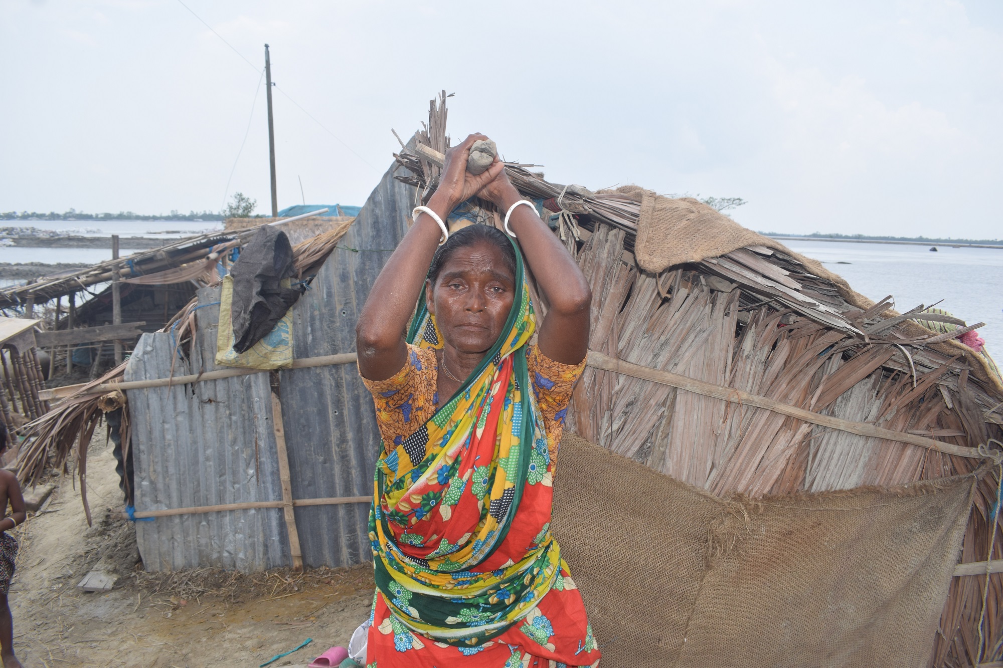
For India, the year started with a 20 per cent excess pre-monsoon season while also bringing severe thunderstorms and heat waves across many parts of the country. The first mega event made its entry in May 2020 in the form of super-cyclone Amphan, which had a devastating impact on West Bengal and Bangladesh.
Two weeks later, the focus shifted to the west coast of India where the monsoon made its entry into Kerala on June 1, 2020. Under the influence of a strong monsoon trough and enhanced moisture convergence, a rare cyclone, Nisarga, formed in the Arabian Sea and landed in coastal Maharashtra. What made it rarer was the fact that it intensified into a Severe Cyclonic Storm just 24 hours before landfall. Although the monsoon’s arrival caused havoc over coastal Maharashtra, its timely arrival was an important landmark given the ongoing economic crisis due to COVID-19. The two cyclones instilled fear that the monsoon would make sluggish progress. However, the monsoon currents swept the entire country by June 26, 2020 – a remarkable 12 days before its normal date (i.e. July 8). Thanks to cyclone Nisarga, which swiftly pulled the monsoon currents along with it, the overall monsoon performance in June was satisfactory.
The turn of events continued with a poor performance of the monsoon in July, a crucial month that saw a nine per cent deficit, putting a big question mark on the revival of the economy. The emergence of La Niña in August was a welcome relief that resulted in a record five low pressure systems in the Bay of Bengal in August 2020. The whole of August saw 28 active monsoon days as opposed to a climatological normal of 17 days. The monsoon picked up steam and was not ready to withdraw soon, resulting in one of the delayed southwest monsoon seasons. So much so that October 2020 produced a massive system – a Depression in the Central Bay of Bengal moving coast to coast – impacting many districts in Andhra Pradesh, Telangana, and Maharashtra. Monsoon 2020 ended with nine per cent excess making it the second consecutive year of excess monsoon after 2019.
Nature always reminds us that one should not take anything for granted. The unseasonal heavy rains in October did result in crop damage in many states, putting a damper on a textbook monsoon season. Some unseasonal rains were recorded in December as well for Maharashtra, impacting the Rabi crops.

A delayed withdrawal of the southwest monsoon automatically reflects as a delayed onset of northeast monsoon, which entered South India on October 28, 2020. Up until November 23, the performance of northeast monsoon was abysmal, recording close to 30 per cent deficit in Tamil Nadu (one of the primary beneficiaries of the northeast monsoon). But we are talking about 2020, which by now was already tagged as a capricious year. Two back to back cyclones – Nivar & Burevi – completely changed the existing scene. Surprisingly, both were rain-fed systems giving bountiful rains without much destruction that cyclones usually bring along due to strongly-packed winds. The north-east monsoon over Tamil Nadu recorded 5 per cent excess, thanks mainly to Nivar and Burevi. The tumultuous monsoon season for India would end on a good note bringing a much needed balance to coronavirus-hit 2020.
Not just in India, but freak weather events during 2020 were witnessed globally. Cyclone Gati would become the strongest tropical storm on record to make landfall in Somalia, and one of few tropical cyclones to do so in the country. The Atlantic ocean would go on to churn thirty hurricanes, making it the second time in history when Greek letters were used to name the storms (last time was in 2005). Hurricane Laura was the strongest on record to hit Louisiana in the USA. The final hurricane of the season, Iota, was a Category 5 storm that impacted Central America and the strongest system to make landfall in Nicaragua. On the other side of the world, super Typhoon Rolly slammed the Philippines as a Category 5 storm, becoming the strongest landfalling tropical cyclone of 2020.
It is interesting to note that 2020 would probably be one of those rare years where the oceans in the Northern hemisphere – Atlantic Ocean, Indian Ocean, and Pacific Ocean – churned a Category 5 storm. As much as one wishes to forget 2020, it may not be that easy, since many historic weather events have been recorded this year.
Could one attribute the unusual weather events of 2020 to global cooling induced by COVID-19 lockdown or are such freak events the new normal? Only time will tell. If it is the latter, then we have to keep our guard up and be weather-ready.
Sridhar Balasubramanian is an associate professor of mechanical engineering and an adjunct faculty member at IDP Climate Studies at the Indian Institute of Technology Bombay (IITB).
(Views are personal.)