Written by Chiranjit Guha and Sahana Srinath
WATER. What is the first word that comes to your mind when you read this or hear this word?
To us, it only rings a bell of alarm. Of the need to buckle up, to address the throbbing issue of water scarcity before it’s too late.
One Google search for a note on water in India, and you have terms like ‘water scarcity’ and ‘water crisis’ appear on your screen. When you dig deeper into the problem, you will realise that the lever here, the resource that really determines our country’s water supply, is groundwater.
Seventy five per cent of agriculture and 85 per cent of our drinking water supply depends on groundwater.
While consumption and use of water is increasing steadily, there is no coordinated measure to manage its availability. Groundwater, owing to its ‘invisible’ nature, is further neglected in terms of recharge and management. This, coupled with the deterioration of a collective understanding that groundwater is a shared, common resource, has led India towards a horrifying crisis of groundwater overuse and contamination.
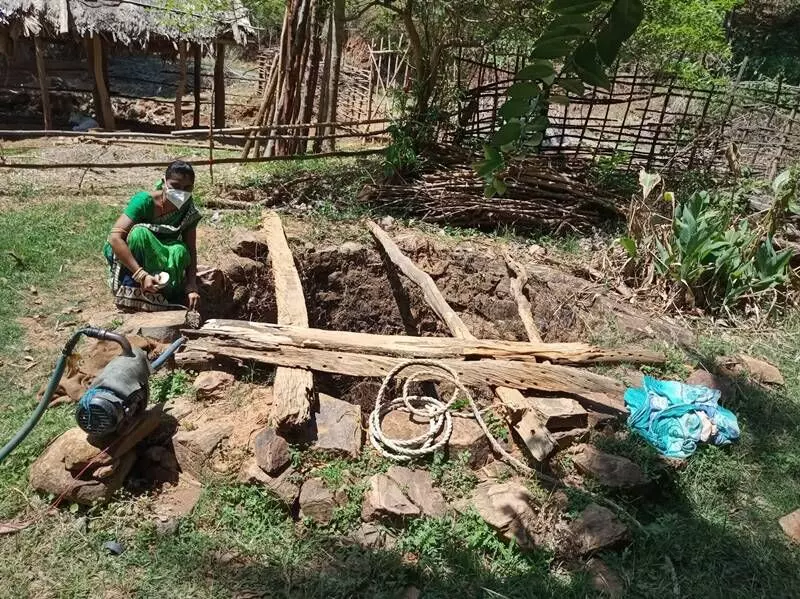
This data visualisation helps understand the recharge-discharge dynamic at the local level and generate awareness on the existing water consumption scenario.
Also Read: When disease and deformities are just a sip away
The present environmental impact of the problem manifests as sharp drops in groundwater levels, reduction in or cessation of spring discharge, saltwater intrusion, and overall deterioration of water quality. For a country like ours, this can indeed spell doom.
Generating location-specific data on groundwater resources
So what can we do? There is no simple answer to this. However, we can start by taking stock of the existing situation. And that is what we did a few years ago when ACWADAM (Advanced Center for Water Resources Development and Management), INREM Foundation, FES (Foundation for Ecological Security) and other members of the Water Practitioners’ Network (WPN) came together to understand the current magnitude of the problem and address it in a concerted manner.
One pressing gap that came out of these discussions was the lack of good quality, location-specific data on groundwater resources for most parts of the country. Most often, we come across initiatives that primarily focus on recharging groundwater.
However, when there is little clarity on the available potential of the resource, it is hard to assess an actual improvement in its availability. Thus, there is an urgent need to map groundwater, quantify its potential, and undertake collective efforts to plan for better recharge and use of groundwater resources.
Further, this information needs to be decentralised and made available at the local level, since this is where the resources are present, and this is where action can impact the resource. These thoughts and discussions ultimately led to the genesis of the Groundwater Monitoring Tool.
Groundwater Monitoring Tool
An open-source, android application, this tool aims to address the challenge of accurately measuring the available groundwater potential. It enables the collection of data on the water levels in wells, and the collation and visualisation of this data on a web platform – ensuring easy access to all.
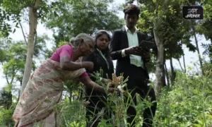
The exercise is simple: install the Groundwater Monitoring Tool on your mobile or tablet, register yourself on the application, and with the help of your device’s GPS, start counting and measuring the water levels of open wells twice a year – once in the pre-monsoon season and once in the post-monsoon season. These open wells can be on private and common lands – mapping as many open wells as possible is the objective.
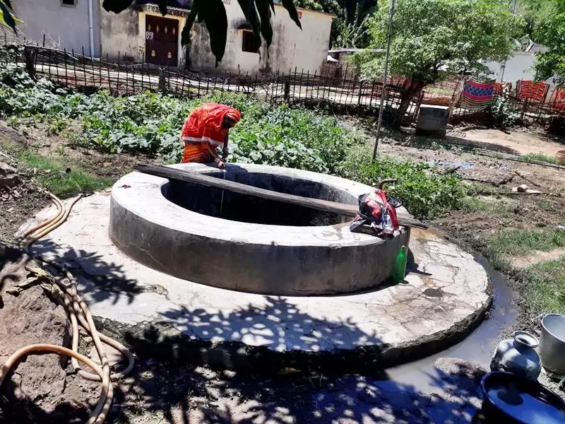
Data is also useful for farmers to measure and monitor their private wells – consistently monitoring groundwater levels for three consecutive years can yield useful information about the groundwater situation around the farmer’s land.
Why open wells, you may ask. This is for the simple reason that open wells tap into the water resources of unconfined, open aquifers – the layer of rock and soil that holds water resources at the atmospheric pressure, where the water levels rise and fall with changes in precipitation. These aquifers have an opening at the earth’s surface, and thus, all soil and moisture conservation activities such as creation of recharge structures, directly influence its water levels.
Confined aquifers, on the other hand, have an impermeable layer above them, which prevents water from seeping into them immediately; thus, the water levels in these aquifers take years, decades even, to rise.
While it is important to map open wells and cover more wells every season, it is equally important to map the same wells season after season, year after year. This will give us a more holistic picture of the local groundwater situation, allowing for relatively more accurate inferences and trend analyses of the changes in groundwater levels in specific locations, over a period of time. It will give us a spatial representation of aquifers, and also help establish a given aquifer’s nature and properties.
Generating spatial maps
Another important benefit of collecting data through the Groundwater Monitoring Tool and uploading it on the web platform (Groundwater Monitoring Portal) is the facility of generating spatial maps of two types.
The first is the Water Table Maps that indicate the direction of movement of groundwater; a higher water table area indicates a probable zone of recharge, as compared to a lower water table area.
The second is the Water Level Maps that indicate the depth of groundwater resources from the earth’s surface. They help identify the accurate depth for digging new wells or for deepening existing wells.
By aiding in the visualisation of granular data – at the village/ panchayat/ block levels – these maps become very useful to local communities, government functionaries and civil society organisations in understanding the status of their groundwater resources and subsequently undertaking informed efforts to manage, conserve and replenish these resources.
This data visualisation helps understand the recharge-discharge dynamic at the local level, generate awareness on the existing water consumption scenario, and sensitise stakeholders to reflect on aspects that need to be kept in mind for future planning of important activities such as agriculture, irrigation, domestic consumption, etc.
Planning and implementation
Such granular data can also inform the planning and implementation of different types of structures – in terms of which area is most suitable for water recharge structures and which others are most suitable for surface water storage structures. When these layers of information are integrated with decision-support tools like the Composite Landscape Assessment and Restoration Tool (CLART), it further improves accuracy of planning by 10-15 per cent.
By encouraging discussions on these aspects, stakeholders are well-placed to undertake informed planning and usage of funds, such as that of MGNREGS (Mahatma Gandhi National Rural Employment Guarantee Scheme), available for development at the local level. Bringing this aspect of resource monitoring can prompt discussions around groundwater as a common resource, which is crucial to its effective conservation and sustainable management.
Further, monitoring open wells aids in assessing the impact of the developmental activities undertaken. Structures created using MGNREGS funds, for example, can be assessed in terms of their impact through the temporal groundwater data captured.
This data is also useful for farmers to measure and monitor their private wells – consistently monitoring groundwater levels for three consecutive years can yield useful information about the groundwater situation around the farmer’s land.
When a farmer undertakes soil testing and uses its data along with the analysis from the groundwater monitoring data, it can provide useful information to decide on crop choices and well deepening, thus reducing the risk of crop failure, and improving economic opportunities and livelihood resilience.
Napo Jal, Bachao Kal
A participatory national campaign called Napo Jal, Bachao Kal was launched in 2020 to map and measure wells across the villages of India and to enhance the collective understanding of groundwater as a shared, common resource. Through this campaign, we aim to map at least one well in every village of India. This year, we collectively aim to map at least 50,000 wells across the country.
Click here to access the Groundwater Monitoring Toolkit
Come, join the pan-India campaign to measure India’s groundwater and collectively secure our futures. As the campaign name suggests: Napo Jal, Bachao Kal!
Chiranjit Guha is Principal Consultant – Analytics at Foundation For Ecological Security (FES). He is the Principal Architect of CLART and GWMT. Sahana Srinath works with the Communications Team of FES. Views are personal.

