

It is time we stop demonising riverine floods during monsoon as a calamity. Here is why
Human beings are conditioned to consider riverine floods a threat to their existence rather than as a geomorphological process necessary for agrarian wellness. Here is why this should change.

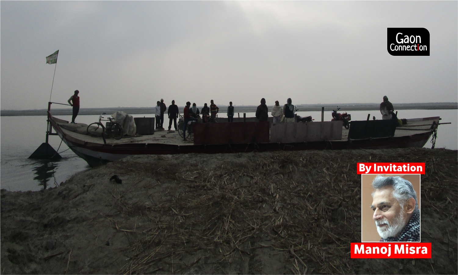
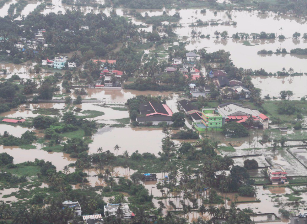
Gandak river, a left band tributary of the Ganga that faces flash floods every monsoon. Photo: Nidhi Jamwal
Water is life. Nothing demonstrates this better than the monsoon season in South Asia.
Immediately after the summer months, when the relentless sun has battered us all and squeezed the moisture out of weathered soils, the first rain of the monsoon season soothes all hearts and fills the air with the heady ‘sondhi khushbu’ (petrichor). It signifies ‘rejuvenation’ in its true sense!
Monsoon is also one of the most-awaited annual events for those living in the South Asian nations, with the meteorological departments keeping busy refining and upgrading their tools of monsoon prediction. Even the stock market swings in tune with the nature and content of these predictions.
Paradoxically, the monsoon is also associated with alarming headlines – ‘Menacing floods batters… ’, ‘Calamitous floods sweeping down… ‘, ‘Another cloud burst raises fear of flash floods…’ – creating fearful imageries in the audiences’ minds.
But, is flood natural or humanmade? This is as much an effort to demystify riverine floods in the south Asian context as try and establish the humanmade origins of floods, usually seen as a calamity. Although this article focuses on east India (Bihar in particular) but the principles discussed are hopefully found applicable elsewhere too.
Riverine floods are natural events
Human traditions are products of nature. We have observed natural changes in our surroundings over a long period of time and adjusted to them in a win-win manner. These have taken on the garb of tradition, be it in terms of language, social customs, food, housing, and clothing or in our relationship with nature.
Just like we have Barahmasa, the traditional names for different months in a year, or specific names for different kinds of clouds in the sky, there are names for different kinds of floods in rivers in north Bihar, a region unfortunately considered among the worst flood-affected regions in the country today.
For example, old-timers in Mithila region of Bihar can still recall terms like Majarana, indicating the presence of fresh sediment in the river due to melting snow in the Himalayas, Baarh, the process of river water inundating the fields after the first few spells of rain, helping in paddy cultivation, Humma, when river water enters houses and cattle are half-submerged, making buffaloes look like elephants due to prolonged submergence, an event experienced once in 25-30 years, and Saah, when the water level rises further, with ‘waves’ in the flowing water, and the cattle has to be let loose as they cannot be saved.
This not only indicates a cyclic nature of riverine floods, but it also demonstrates how floods are part and parcel of everyday life. Yes, it could be hard at times but, it was something to look forward to, and welcomed as necessary for agrarian wellness.
Think about it.
Rivers flood when there is high rainfall, mostly during the monsoon season, in their catchments. Why do we call flooding in monsoon a calamity when we don’t call loo (heatstroke) in summer and snowfall in winter calamities? This is primarily due to the way we have related to air and water. Since humans have little control over temperature – other than by using gadgets – we adjust and manage without much hullabaloo. But, since we succeeded, to some extent, in ‘taming’ our rivers with dams, barrages, and embankments, we think all hope is lost when rivers fail to behave the way we want it to when their catchments receive high to very high rainfall.
What does history say?
There are strong historical lessons to prove riverine floods were not always considered calamitous the way we do today.
Floods, it is claimed, had the role of the pulse. During floods, a broth of soil, silt, vegetation, sediment, muscle, fin, ova, and fish are flushed into innumerable channels, drainage lines, depressions, rice fields, tanks, and capacious river systems.
“The time from majarana to baarh was one to celebrate. Humma used to bother them but there was no casualty linked to it and it did not stay for more than two to three days,” said Dr DK Mishra, a renowned flood expert from Bihar. “The elderly people of the Bagmati basin believe floods in the basin rarely exceeded two-and-a-half days, and that the river never went near the pegs to which cattle were tied since it was scared,” he said. “People, however, were scared of Saah, but it did not occur more than a couple of times in a century. A bumper Rabi crop after the floods was a certainty and that used to keep the morale of the farmers high even in times of distress,” he added.
“All this happened because the free flow of water was ensured and obstructions to it were few. If the speed with which the floodwaters rose during humma and saah was fast, so was the subsidence. Besides, fresh silt used to spread all over the fields, and the fertility of the soil was rejuvenated year after year,” he said.
The Ganga river that flows west to east bifurcates the floodplains of Bihar into north and south. The manner in which hundreds of streams, and a couple of major rivers, make hasty runs for Ganga during the monsoon transforms it from a languorous stream into a fast-paced, silt-laden river of gigantic proportions. Clearly, the plains of Ganga in Bihar and Bengal possess deltaic characteristics and prior to the coming of the British, the locals, over the centuries, understood and found win-win methods to deal with such an annual transformation.
Vipul Singh, in his recent (2018) book, Speaking Rivers, highlights: “The East India Company, despite its long presence in Bihar and reliance on river communication, could not fully comprehend the river ecology and the traditional knowledge of irrigation when it came to actually administering the territory (sic).”
According to a 1906 report by KG Gupta, the first ICS officer of the then East Bengal (now Bangladesh), and then Member of the Board of Revenue, “During the rains, i.e. from July to September, a great part of the country [Bihar and Bengal], is under water, and may not be inappropriately regarded as one vast inland fishery, even the rice fields attracting swarms of fry and small fish. By a wise provision of Nature this is also the period when most of the fresh water species spawn (sic).”
Despite British experimentation, most Indian rivers were healthy until the middle of the twentieth century. They were more or less free to flow, and monsoon-period floods in them were not an annual disaster. They hosted large and varied kinds of life; freshwater fishery was a popular vocation and their water could be consumed without a second thought.
Unfortunately, the British engineering experimentations in the name of finding possible solutions to floods – construction of barrages and embankments – were continued by Independent India’s policymakers too, without looking at the past mistakes. These are mistakes even a few British engineers, like William Willcocks (1930), lamented about.
Result? Bihar which had only 160 kilometres of embankments along the north Bihar rivers, and a flood-prone area of 25-lakh hectares in 1952, now has nearly 3,800 kilometres of embankments and flood-prone area of 68.8-lakh hectares, that is a hike of more than 100 per cent. This is enough proof that investment in the flood-control sector – building embankments and other engineering structures – is doing more harm than good.
Is there a safer way forward?
Yes, indeed. If only we could lessen the human imprint in it all!
If we look closely at the recent ‘disastrous’ flood events reported from different parts of the country, we find that in almost all of these cases, the root causes were humanmade – poor or choked urban drainage systems, senseless paving of all roadside greens and other open spaces, draining and conversion of water bodies into alternate land use, encroachment, concretisation and covering of natural drains and their floodplains (Mumbai, 2005 and Chennai, 2015 ) or embanking, encroachment on floodplains and damming of rivers (Uttarakhand, 2013, Bihar 2016 and Kerala, 2018).
All of the above, when accompanied by high to very high rainfall, led to floods. But, the safe draining out or sub-surface absorption of water was impeded by human follies.
Consider an analogy.
Multi-laned expressways cover vast expanses and are reserved for fast-paced traffic. A bird’s eye would find that during rush hour, the plying vehicles can traverse only a little distance despite having all the space to do so. How different is a river and its floodplains, with the latter fully covered by the river only during floods?
Now, if a man tries to stand in the middle of the expressway or start living on the roadside, he would be declared a loony, out to kill himself, and others, and will be hauled up by the police. But, when structures, legal and illegal, are raised in river beds, no one bothers and cry foul when floods wash away the structures.
A draft regulation called the River Zone Regulation (RRZ) Notification, on the lines of CRZ (Coastal Zone Regulation Notification), to prevent encroachments and conversion of the floodplains of rivers in the country, has been in the works at the Ministry of Environment, Forest and Climate Change since 2002. It has been gathering dust for reasons best known to the concerned mandarins. It is on record that Prakash Javadekar, then Minister of State, MoEF, had on May 9, 2016, promised in Parliament to notify the RRZ. It is June 2020 now, and he is back as the nation’s Environment Minister, but the RRZ is nowhere to be found!
Finally, as Rohan D’Souza in a recent paper (2020) suggests: “Floods should be reconceptualised as a geomorphological process – the net transfer of muddy material from the hills and hinterlands to the cavernous mouth of the delta, a process that cultivators in pre-colonial times tapped for silt to fertilise their crops and create an agrarian world that was flood dependent (sic).”
It’s time we, as a nation, understood and appreciated the ‘wealth’ inherent in riverine floods, rather than considering it a ‘danger’ to be warded off.